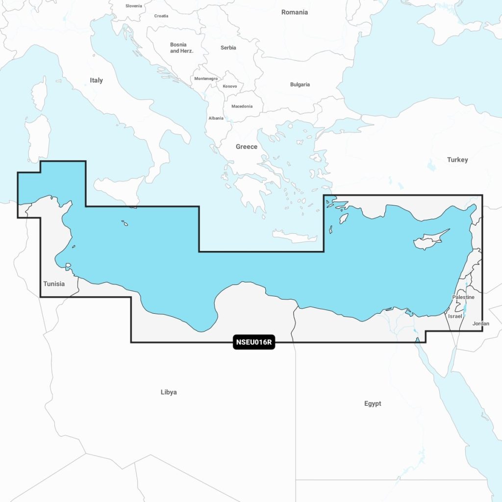
Navionics+™ - Mediterranean Sea, Southeast NSEU016R microSD™/SD™
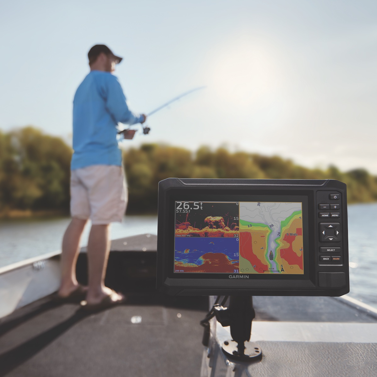
Enhance your maritime navigation with the Navimaps Garmin Mediterranean Sea, Southeast. Designed for avid sailors and navigators, this marine chart provides detailed coverage of vital areas, including harbors, navigational aids, and topographical features. Compatible with Garmin GPS devices, it ensures safe and efficient sailing through the Mediterranean's diverse waters. With updated information and user-friendly interface, the Navimaps Garmin chart is essential for both leisure yachts and commercial vessels seeking reliability and accuracy on their journeys.
Out of stock items can be ordered and shipped out within 3-5 working days
We despatch all orders within 24 hours. Orders placed weekdays before 4pm will be shipped the same day.
Call us and speak to an expert on 0191 4297309 - (Mon - Fri / 9am - 5pm).
Pickup available at Marine Chandlery: North Shields
Usually ready in 1 hour

Navionics+™ - Mediterranean Sea, Southeast NSEU016R microSD™/SD™
Marine Chandlery: North Shields
Unit G4 Narvik Way
Tyne Tunnel Trading Estate
North Shields NE29 7XJ
United Kingdom

Enhance your maritime navigation with the Navimaps Garmin Mediterranean Sea, Southeast. Designed for avid sailors and navigators, this marine chart provides detailed coverage of vital areas, including harbors, navigational aids, and topographical features. Compatible with Garmin GPS devices, it ensures safe and efficient sailing through the Mediterranean's diverse waters. With updated information and user-friendly interface, the Navimaps Garmin chart is essential for both leisure yachts and commercial vessels seeking reliability and accuracy on their journeys.


