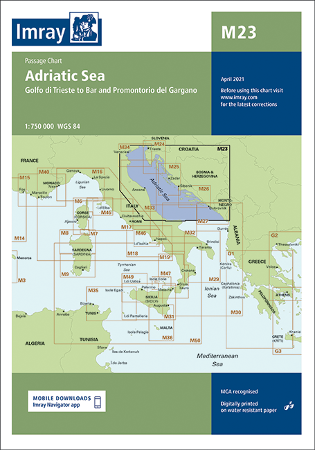
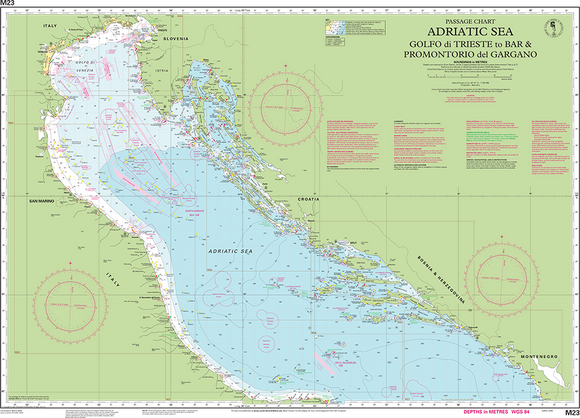
Imray M23 Adriatic Sea Passage Chart
Discover the Chart Adriatic Sea M23, featuring detailed navigation data, essential for safe marine travel. Ideal for sailors and fishermen, it enhances your journey with accurate topographic information of the Adriatic waters.
Out of stock items can be ordered and shipped out within 3-5 working days
We despatch all orders within 24 hours. Orders placed weekdays before 4pm will be shipped the same day.
Call us and speak to an expert on 0191 4297309 - (Mon - Fri / 9am - 5pm).
Pickup currently unavailable at Marine Chandlery: North Shields

Imray M23 Adriatic Sea Passage Chart
Marine Chandlery: North Shields
Unit G4 Narvik Way
Tyne Tunnel Trading Estate
North Shields NE29 7XJ
United Kingdom

Discover the Chart Adriatic Sea M23, featuring detailed navigation data, essential for safe marine travel. Ideal for sailors and fishermen, it enhances your journey with accurate topographic information of the Adriatic waters.
Discover the Chart Adriatic Sea M23, featuring detailed navigation data, essential for safe marine travel. Ideal for sailors and fishermen, it enhances your journey with accurate topographic information of the Adriatic waters.
Description
The Chart Adriatic Sea M23 is a meticulously detailed marine chart designed for navigating the complexities of the Adriatic Sea. Produced by a leading authority in marine cartography, this chart provides comprehensive coverage of the Adriatic coastline, including critical information on depths, navigational hazards, and points of interest. Key features include clearly defined coastal outlines, buoyage systems, and detailed topographical information that aids in accurate navigation. The chart is printed on high-quality, durable paper that is resistant to water and tear, making it suitable for long-term use in harsh marine environments. Its scale and clarity ensure that mariners can easily identify features such as ports, marinas, and natural landmarks, enhancing situational awareness while at sea. Typical use cases for the Chart Adriatic Sea M23 include use by recreational sailors, commercial fishermen, and marine researchers, all of whom require reliable and precise navigation aids. Additionally, this chart is a valuable resource for educational purposes, allowing students and professionals to study maritime geography and navigation effectively. The practical benefits of using the Chart Adriatic Sea M23 are significant. It provides a solid foundation for planning voyages and ensuring safe passage through potentially challenging waters. Its comprehensive coverage and ease of use make it an indispensable tool for both experienced navigators and those new to the Adriatic region. For professionals in the marine industry, investing in this chart means prioritizing safety, accuracy, and informed decision-making on the water.
Specification
| Specification | Details |
|---|---|
| Chart Title | Adriatic Sea M23 |
| Scale | 1:200,000 |
| Edition | Latest Edition |
| Dimensions | 100 cm x 70 cm |
| Projection | Mercator |
| Coverage Area | Coastal waters of the Adriatic Sea |
| Features | Depth contours, navigational hazards, ports |
| Publication Date | Year of Publication |
| ISBN | ISBN Number |
Delivery information
Standard delivery: 3-5 working days
Express delivery: 1-2 working days
Free delivery on orders over £100


