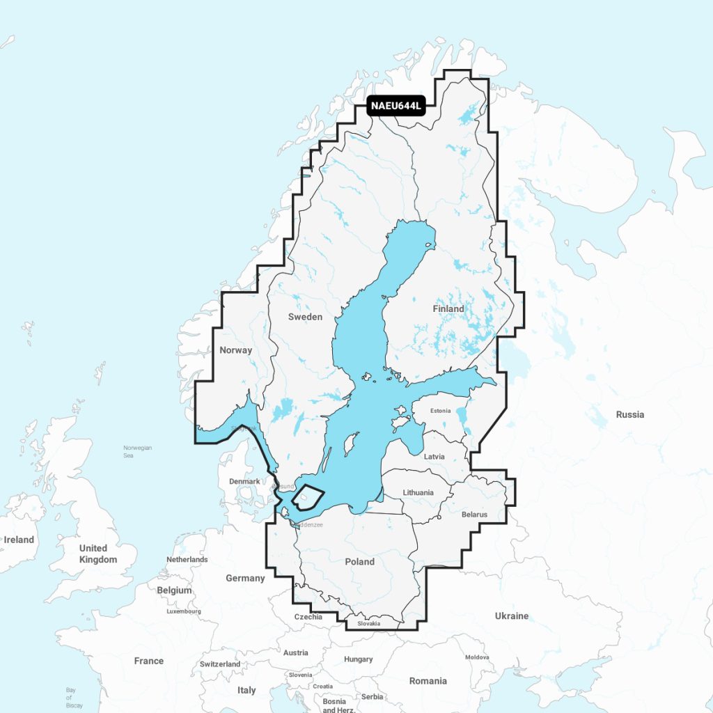
Navionics®+ Baltic Sea NAEU644L Marine Charts
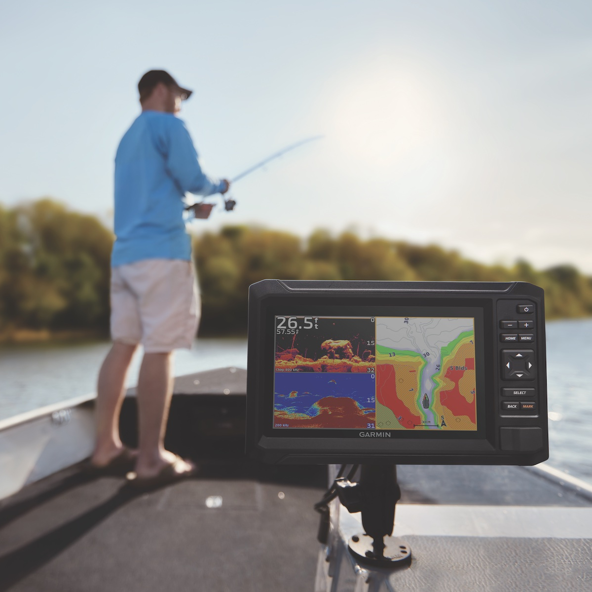
Discover the ultimate marine navigation solution with Navionics Baltic Sea. This premium cartography offers detailed nautical charts for safe and accurate navigation across the Baltic Sea. Key features include updated depth data, port information, and real-time weather overlays, ensuring you sail with confidence. Compatible with a variety of plotters and devices, Navionics Baltic Sea helps you plan your routes effortlessly, making it an essential tool for both recreational sailors and marine professionals. Enhance your navigation experience today with this reliable marine product.
Out of stock items can be ordered and shipped out within 3-5 working days
We despatch all orders within 24 hours. Orders placed weekdays before 4pm will be shipped the same day.
Call us and speak to an expert on 0191 4297309 - (Mon - Fri / 9am - 5pm).
Pickup available at Marine Chandlery: North Shields
Usually ready in 1 hour

Navionics®+ Baltic Sea NAEU644L Marine Charts
Marine Chandlery: North Shields
Unit G4 Narvik Way
Tyne Tunnel Trading Estate
North Shields NE29 7XJ
United Kingdom

Discover the ultimate marine navigation solution with Navionics Baltic Sea. This premium cartography offers detailed nautical charts for safe and accurate navigation across the Baltic Sea. Key features include updated depth data, port information, and real-time weather overlays, ensuring you sail with confidence. Compatible with a variety of plotters and devices, Navionics Baltic Sea helps you plan your routes effortlessly, making it an essential tool for both recreational sailors and marine professionals. Enhance your navigation experience today with this reliable marine product.
Discover the ultimate marine navigation solution with Navionics Baltic Sea. This premium cartography offers detailed nautical charts for safe and accurate navigation across the Baltic Sea. Key features include updated depth data, port information, and real-time weather overlays, ensuring you sail with confidence. Compatible with a variety of plotters and devices, Navionics Baltic Sea helps you plan your routes effortlessly, making it an essential tool for both recreational sailors and marine professionals. Enhance your navigation experience today with this reliable marine product.
Description
Navionics Baltic Sea is a comprehensive marine charting solution specifically designed for navigators and boaters operating in the Baltic Sea region. This digital navigation tool provides up-to-date, detailed charts that cover key areas including coastal waters, islands, and popular ports, ensuring optimal navigation safety and efficiency. Key features of Navionics Baltic Sea include Bathymetric contours, which offer precise water depth information essential for safe navigation; advanced navigational aids, including buoys, lighthouses, and day marks; and real-time weather updates, enabling users to plan their voyages effectively. The product also integrates seamlessly with many leading marine electronics systems, allowing for enhanced route planning and ease of use on compatible devices. Typical use cases encompass both recreational boating and professional maritime operations. Charter operators, fishing fleets, and cruising sailors benefit from the accurate and reliable information provided, enhancing their operational safety and decision-making during voyages. Furthermore, the user-friendly interface makes it easy for users of all experience levels to access critical navigational data quickly. Practical benefits include improved route efficiency, reduced risk of navigational hazards, and increased confidence for users exploring the often unpredictable waters of the Baltic Sea. With Navionics Baltic Sea, marine users can enjoy a superior navigation experience that prioritizes reliability and accuracy, making it an essential tool for anyone venturing into these waters.
Specification
| Specification | Details |
|---|---|
| Product Name | Navionics Baltic Sea |
| Coverage Area | Baltic Sea, including coastal areas of Sweden, Finland, Estonia, Latvia, Lithuania, Poland, and Germany |
| Chart Format | Raster and vector charts |
| Features | Depth contours, navigational aids, port plans, and points of interest |
| Update Frequency | Annual updates |
| Compatibility | Compatible with various chartplotters and mobile devices |
| Data Source | Official hydrographic data and local knowledge |
| Language | Multiple languages supported |
Delivery information
Standard delivery: 3-5 working days
Express delivery: 1-2 working days
Free delivery on orders over £100


