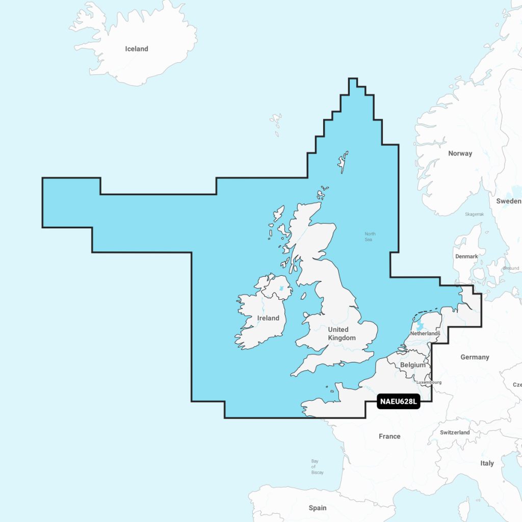
Navionics®+ U.K., Ireland & Holland NAEU628L microSD™/SD™
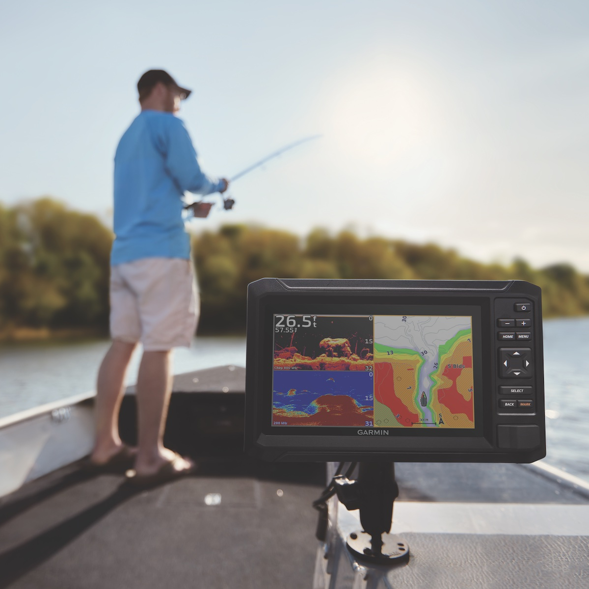
Enhance your navigation experience with Navionics U.K., Ireland & Holland charts, designed for maritime enthusiasts and professionals alike. These high-resolution, detailed charts feature comprehensive coverage of coastal waters, harbors, and inland waterways, ensuring safe and informed voyages. With satellite imagery, advanced route planning tools, and real-time updates, sailors can navigate with confidence. Ideal for boating, fishing, and cruising, Navionics charts are compatible with various marine devices, making them an indispensable tool for any navigator in the region. Explore the waters of the U.K., Ireland, and Holland with precision and ease.
Out of stock items can be ordered and shipped out within 3-5 working days
We despatch all orders within 24 hours. Orders placed weekdays before 4pm will be shipped the same day.
Call us and speak to an expert on 0191 4297309 - (Mon - Fri / 9am - 5pm).
Pickup currently unavailable at Marine Chandlery: North Shields

Navionics®+ U.K., Ireland & Holland NAEU628L microSD™/SD™
Marine Chandlery: North Shields
Unit G4 Narvik Way
Tyne Tunnel Trading Estate
North Shields NE29 7XJ
United Kingdom

Enhance your navigation experience with Navionics U.K., Ireland & Holland charts, designed for maritime enthusiasts and professionals alike. These high-resolution, detailed charts feature comprehensive coverage of coastal waters, harbors, and inland waterways, ensuring safe and informed voyages. With satellite imagery, advanced route planning tools, and real-time updates, sailors can navigate with confidence. Ideal for boating, fishing, and cruising, Navionics charts are compatible with various marine devices, making them an indispensable tool for any navigator in the region. Explore the waters of the U.K., Ireland, and Holland with precision and ease.
Enhance your navigation experience with Navionics U.K., Ireland & Holland charts, designed for maritime enthusiasts and professionals alike. These high-resolution, detailed charts feature comprehensive coverage of coastal waters, harbors, and inland waterways, ensuring safe and informed voyages. With satellite imagery, advanced route planning tools, and real-time updates, sailors can navigate with confidence. Ideal for boating, fishing, and cruising, Navionics charts are compatible with various marine devices, making them an indispensable tool for any navigator in the region. Explore the waters of the U.K., Ireland, and Holland with precision and ease.
Description
Navionics U.K., Ireland & Holland is an advanced cartographic solution specifically designed for mariners navigating the intricate waters of the United Kingdom, Ireland, and Holland. This product offers high-detail nautical charts that enhance safety and efficiency for boaters and maritime professionals. Utilizing a comprehensive database, Navionics provides up-to-date information including depths, hazards, and navigational aids, ensuring users can make informed decisions while at sea. One of the key features of Navionics U.K., Ireland & Holland is its detailed hydrographic data, which includes depth contours and tide information, essential for coastal navigation and safe anchoring. The charts are compatible with a range of marine electronics, allowing for seamless integration with GPS plotters and mobile devices, making real-time navigation accessible and straightforward. Additionally, the product supports advanced features such as SonarChart™ for 1 ft or 0.5 m bathymetric contours and Community Edits that allow users to contribute local knowledge, further enhancing the accuracy of the navigation charts. This ensures that both recreational boaters and commercial mariners can rely on updated information for optimal route planning. Typical use cases include cruising, fishing, sailing, and regulatory compliance for commercial activities, making it suitable for both leisure and professional applications. The intuitive interface and user-friendly features make it easy for users to access vital navigational information quickly, improving overall maritime safety and enhancing the boating experience. Implementing Navionics U.K., Ireland & Holland in your marine toolkit ensures you are equipped with reliable navigation tools that are backed by over 30 years of experience in electronic navigation. Its robust functionality and ease of use make it an essential addition for anyone serious about safe and efficient marine travel in these important maritime regions.
Specification
| Specification | Details |
|---|---|
| Product Name | Navionics U.K., Ireland & Holland |
| Coverage Area | United Kingdom, Ireland, and Holland |
| Chart Format | Raster and vector charts |
| Compatibility | Compatible with various chartplotters and mobile devices |
| Features | Depth contours, tides, currents, marine services, and points of interest |
| Update Frequency | Annual updates available |
| File Size | Varies by device and coverage area |
| Availability | Available for purchase online and through retailers |
Delivery information
Standard delivery: 3-5 working days
Express delivery: 1-2 working days
Free delivery on orders over £100


