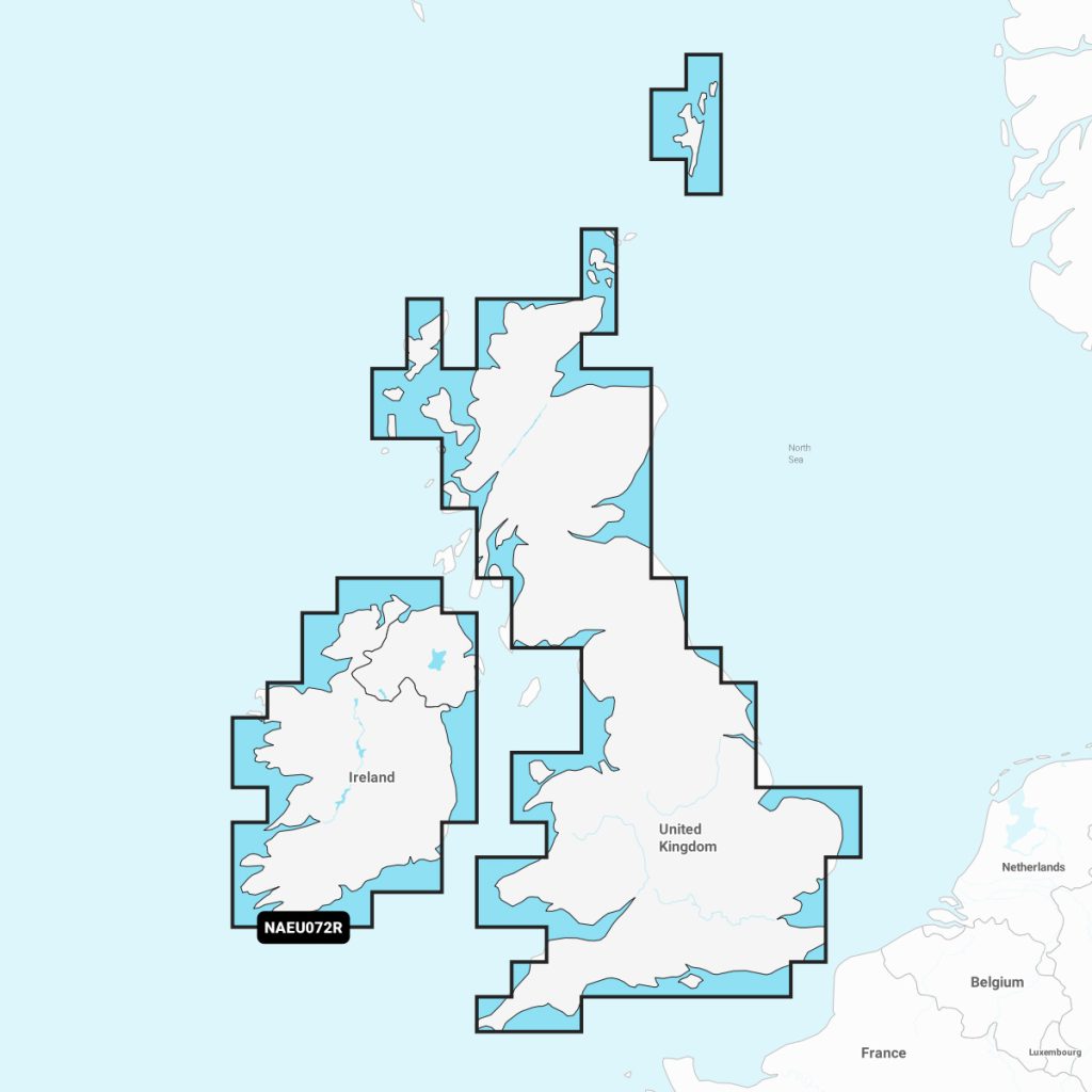
Navionics®+ U.K. & Ireland Lakes & Rivers NAEU072R microSD™/SD™
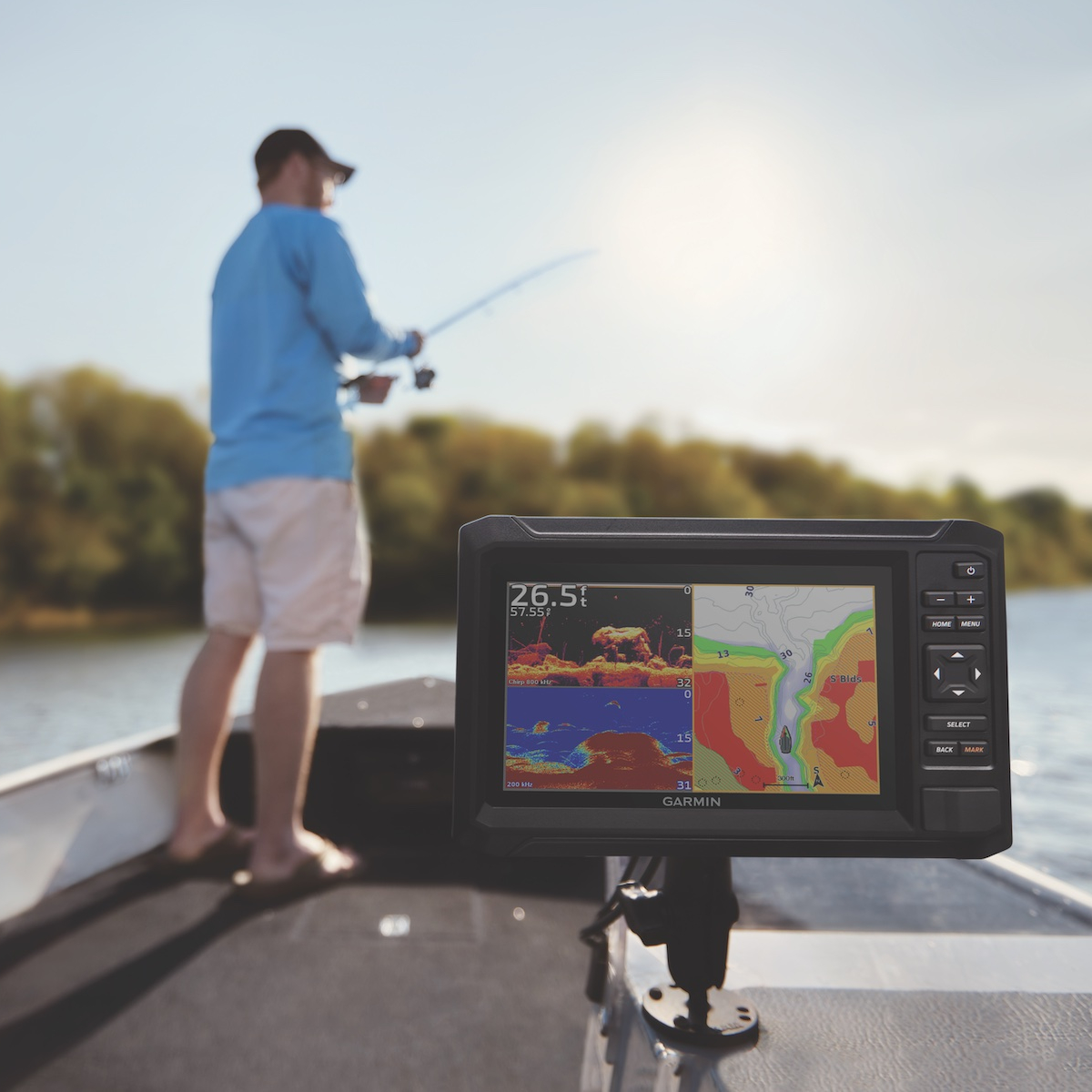
Navionics U.K. & Ireland Lakes & Rivers is a premium marine mapping solution designed for boaters and anglers. Featuring detailed charts for over 20,000 lakes and rivers, it provides precise topographic mapping, depth contours, and essential navigational data. With automatic updates and community edits, users can access the latest information, ensuring safe and efficient navigation. Ideal for recreational and professional use, this product is essential for exploring the diverse waterways of the U.K. and Ireland, enhancing your on-water experience.
Out of stock items can be ordered and shipped out within 3-5 working days
We despatch all orders within 24 hours. Orders placed weekdays before 4pm will be shipped the same day.
Call us and speak to an expert on 0191 4297309 - (Mon - Fri / 9am - 5pm).
Pickup currently unavailable at Marine Chandlery: North Shields

Navionics®+ U.K. & Ireland Lakes & Rivers NAEU072R microSD™/SD™
Marine Chandlery: North Shields
Unit G4 Narvik Way
Tyne Tunnel Trading Estate
North Shields NE29 7XJ
United Kingdom

Navionics U.K. & Ireland Lakes & Rivers is a premium marine mapping solution designed for boaters and anglers. Featuring detailed charts for over 20,000 lakes and rivers, it provides precise topographic mapping, depth contours, and essential navigational data. With automatic updates and community edits, users can access the latest information, ensuring safe and efficient navigation. Ideal for recreational and professional use, this product is essential for exploring the diverse waterways of the U.K. and Ireland, enhancing your on-water experience.
Navionics U.K. & Ireland Lakes & Rivers is a premium marine mapping solution designed for boaters and anglers. Featuring detailed charts for over 20,000 lakes and rivers, it provides precise topographic mapping, depth contours, and essential navigational data. With automatic updates and community edits, users can access the latest information, ensuring safe and efficient navigation. Ideal for recreational and professional use, this product is essential for exploring the diverse waterways of the U.K. and Ireland, enhancing your on-water experience.
Description
Enhance your navigation capabilities with the Navionics U.K. & Ireland Lakes & Rivers chart. Designed specifically for boaters navigating the intricate waterways of the U.K. and Ireland, this product offers detailed cartography and comprehensive data essential for safe and efficient travel on lakes and rivers. The Navionics U.K. & Ireland Lakes & Rivers features high-resolution charts that include crucial depth contours, shoreline features, navigation aids, and points of interest for recreational and professional marine users. Integrated advanced mapping technologies ensure accurate representation of water bodies and enable users to plot courses with confidence. Key features include real-time updates, enabling access to the latest information on water conditions, hazards, and marine traffic. The user-friendly interface allows for easy zooming and panning, facilitating quick reference during navigation. The chart provides seamless coverage of major waterways across both regions, making it an ideal tool for cruising, fishing, and leisure activities. Practical benefits of utilizing Navionics U.K. & Ireland Lakes & Rivers include enhanced situational awareness on unfamiliar routes, increased safety through real-time information, and improved route planning efficiency. This product is compatible with various marine devices, allowing for easy integration into existing navigation systems. Whether you are a seasoned mariner or a weekend enthusiast, the Navionics U.K. & Ireland Lakes & Rivers chart will significantly aid your navigation, ensuring a smooth and enjoyable experience on the water.
Specification
| Specification | Details |
|---|---|
| Product Name | Navionics U.K. & Ireland Lakes & Rivers |
| Coverage Area | U.K. and Ireland lakes and rivers |
| Chart Format | Vector charts |
| Compatibility | Compatible with various chartplotters and mobile devices |
| Features | Detailed lake and river maps, depth contours, navigation aids |
| Updates | Fresh data updates available via Navionics web app |
| Dimensions | Varies by device, typically SD card or download |
| Price | Varies by retailer |
| Language | Multiple languages supported |
Delivery information
Standard delivery: 3-5 working days
Express delivery: 1-2 working days
Free delivery on orders over £100


