Navionics Platinum+™ - France, Lakes & Rivers Inland Charts NPEU080R microSD™/SD™
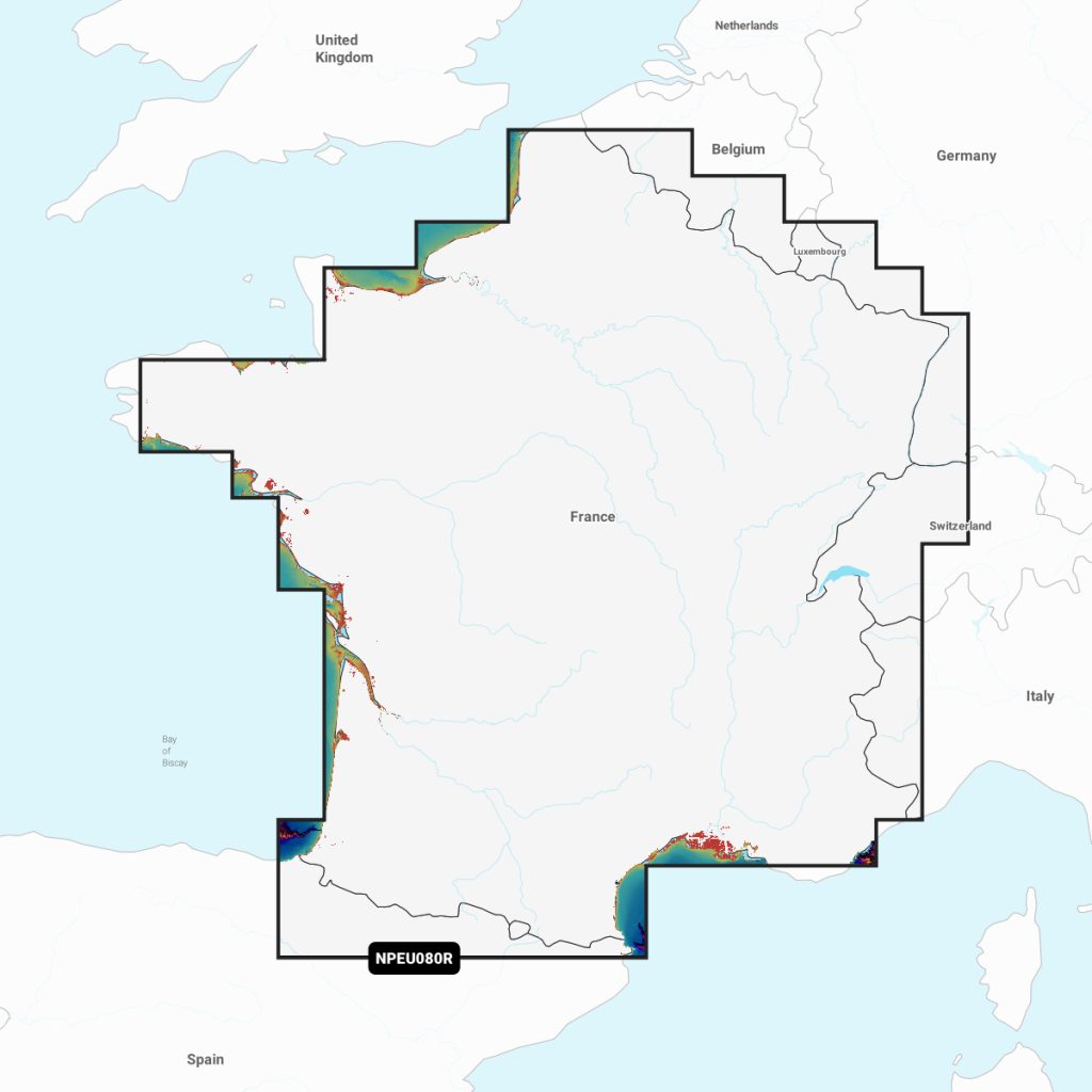
Navimaps Platinum+ France, Lakes & Rivers offers comprehensive and detailed cartography for boating enthusiasts. Designed for seamless navigation, this product features high-resolution maps that cover major lakes and rivers in France, ensuring precision and safety on your maritime adventures. With user-friendly functionality, it integrates effortlessly with various marine devices. Ideal for recreational boating, fishing, and water sports, Navimaps Platinum+ is an essential tool for exploring France's waterways, providing real-time updates and navigation support for an enhanced experience on the water.
Out of stock items can be ordered and shipped out within 3-5 working days
We despatch all orders within 24 hours. Orders placed weekdays before 4pm will be shipped the same day.
Call us and speak to an expert on 0191 4297309 - (Mon - Fri / 9am - 5pm).
Pickup available at Marine Chandlery: North Shields
Usually ready in 1 hour

Navionics Platinum+™ - France, Lakes & Rivers Inland Charts NPEU080R microSD™/SD™
Marine Chandlery: North Shields
Unit G4 Narvik Way
Tyne Tunnel Trading Estate
North Shields NE29 7XJ
United Kingdom
Navimaps Platinum+ France, Lakes & Rivers offers comprehensive and detailed cartography for boating enthusiasts. Designed for seamless navigation, this product features high-resolution maps that cover major lakes and rivers in France, ensuring precision and safety on your maritime adventures. With user-friendly functionality, it integrates effortlessly with various marine devices. Ideal for recreational boating, fishing, and water sports, Navimaps Platinum+ is an essential tool for exploring France's waterways, providing real-time updates and navigation support for an enhanced experience on the water.
Navimaps Platinum+ France, Lakes & Rivers offers comprehensive and detailed cartography for boating enthusiasts. Designed for seamless navigation, this product features high-resolution maps that cover major lakes and rivers in France, ensuring precision and safety on your maritime adventures. With user-friendly functionality, it integrates effortlessly with various marine devices. Ideal for recreational boating, fishing, and water sports, Navimaps Platinum+ is an essential tool for exploring France's waterways, providing real-time updates and navigation support for an enhanced experience on the water.
Description
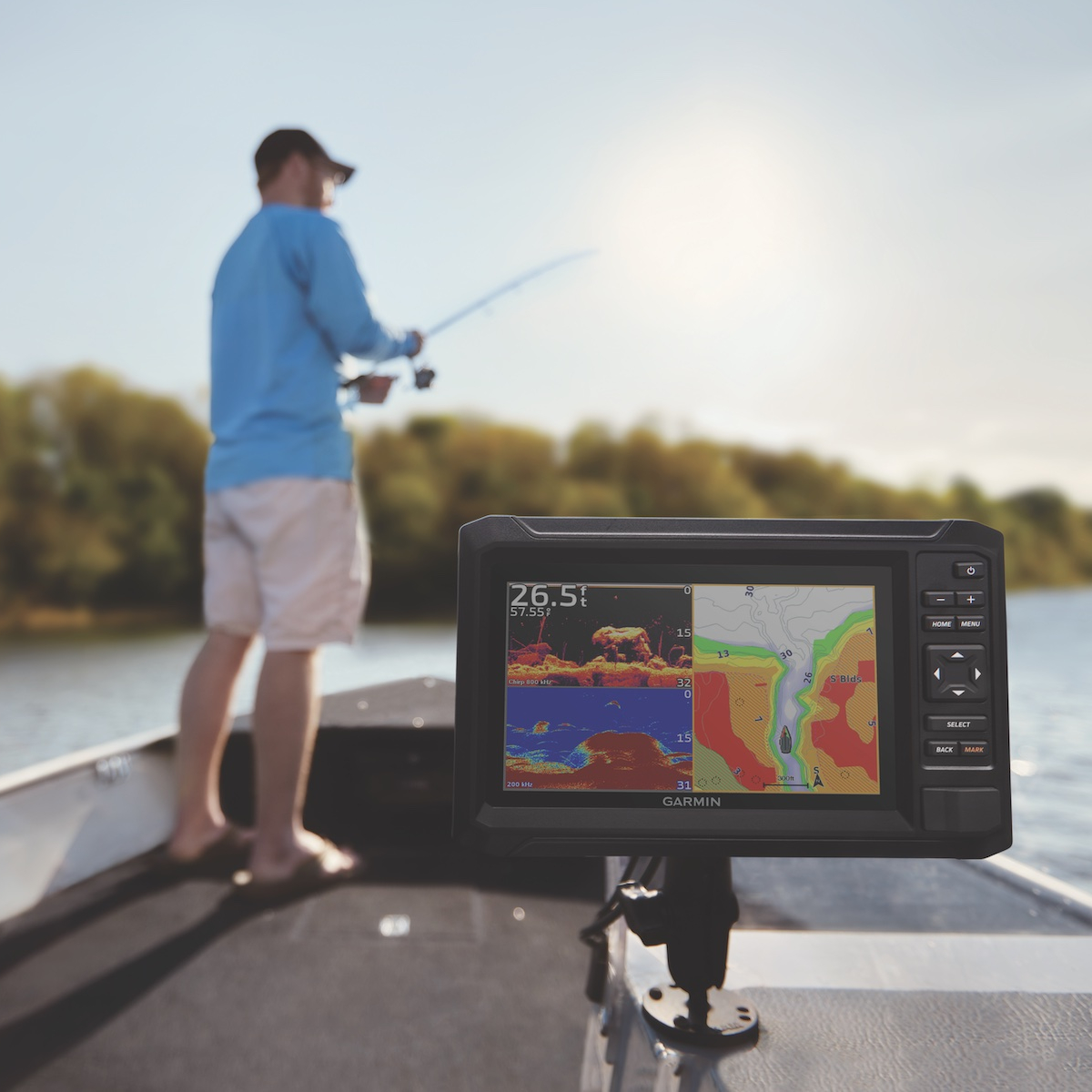
Navimaps Platinum+ France, Lakes & Rivers is a state-of-the-art electronic navigation solution designed specifically for marine enthusiasts and professionals navigating the intricate waterways of France. This advanced mapping software provides detailed, high-resolution charts of various lakes and rivers, ensuring vessel operators can access reliable and accurate navigation data. Key features include comprehensive coverage of navigable waterways, dynamic depth information, and the latest updated hydrographic data, making it essential for both leisure boating and commercial navigation. The software supports easy zooming and panning, enhancing user experience while enabling users to track their route in real-time. Importantly, Navimaps Platinum+ is designed to integrate seamlessly with compatible GPS devices, optimizing navigation capabilities without the need for additional equipment. Typical use cases for this product range from recreational boating on France's serene lakes to professional fishing expeditions along its rivers. The detailed charting allows users not only to navigate effectively but also to identify critical points of interest, such as docking facilities, fuel stations, and popular fishing spots. Practical benefits include increased safety on the water by minimizing the risk of grounding or straying off-course, as well as improved efficiency in planning trips, thereby enhancing the overall boating experience. By choosing Navimaps Platinum+ France, Lakes & Rivers, users can rely on expert-level navigation tools designed specifically for the complexities of France's diverse waterways, ensuring they make the most of their time on the water.
Specification
| Specification | Details |
|---|---|
| Product Name | Navimaps Platinum+ France, Lakes & Rivers |
| Coverage Area | France, Lakes, and Rivers |
| Format | Digital |
| Compatibility | Compatible with various marine GPS devices |
| Data Type | Vector maps |
| Update Frequency | Regular updates |
| Features | Detailed charts, navigational aids, points of interest |
| Language | Multiple languages supported |
| File Size | Varies by device |
| License Type | Commercial |
Delivery information
Standard delivery: 3-5 working days
Express delivery: 1-2 working days
Free delivery on orders over £100


