


Navimaps Platinum+ Yellow Sea
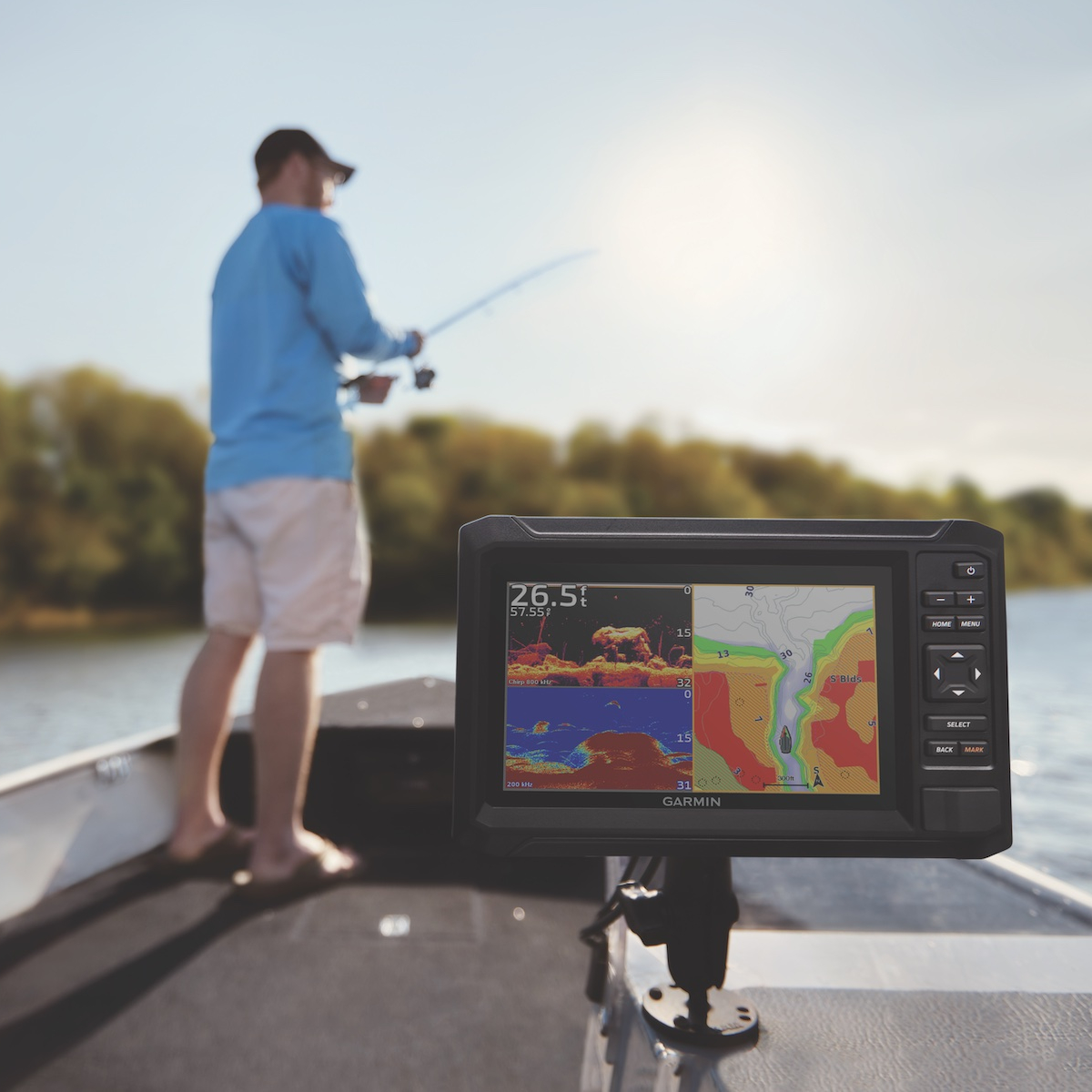
Discover precision navigation with Navimaps Platinum+ Yellow Sea, designed for recreational and commercial marine use. This premium marine chart offers detailed coverage of the Yellow Sea, including bathymetric data, navigational aids, and port layouts. Ideal for sailors and fishermen alike, it ensures safe passage and efficient routes. Compatible with a variety of chartplotters, the Navimaps Platinum+ is your essential tool for navigating complex waters. Experience superior clarity and up-to-date information for a reliable maritime adventure.
We despatch all orders within 24 hours. Orders placed weekdays before 4pm will be shipped the same day.
Call us and speak to an expert on 0191 4297309 - (Mon - Fri / 9am - 5pm).
Pickup available at Marine Chandlery: North Shields
Usually ready in 1 hour
Navimaps Platinum+ Yellow Sea
Marine Chandlery: North Shields
Unit G4 Narvik Way
Tyne Tunnel Trading Estate
North Shields NE29 7XJ
United Kingdom
Discover precision navigation with Navimaps Platinum+ Yellow Sea, designed for recreational and commercial marine use. This premium marine chart offers detailed coverage of the Yellow Sea, including bathymetric data, navigational aids, and port layouts. Ideal for sailors and fishermen alike, it ensures safe passage and efficient routes. Compatible with a variety of chartplotters, the Navimaps Platinum+ is your essential tool for navigating complex waters. Experience superior clarity and up-to-date information for a reliable maritime adventure.