Stanfords Cruising Gallicia Pil0949
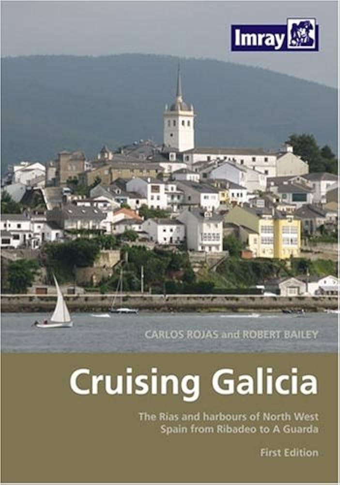
The Cruising Galicia PIL0949 chart offers detailed nautical information for safe navigation, featuring essential waypoints, anchorage locations, and topographic details ideal for sailors and boating enthusiasts in the Galicia region.
Out of stock items can be ordered and shipped out within 3-5 working days
We despatch all orders within 24 hours. Orders placed weekdays before 4pm will be shipped the same day.
Call us and speak to an expert on 0191 4297309 - (Mon - Fri / 9am - 5pm).
Pickup available at Marine Chandlery: North Shields
Usually ready in 1 hour

Stanfords Cruising Gallicia Pil0949
Marine Chandlery: North Shields
Unit G4 Narvik Way
Tyne Tunnel Trading Estate
North Shields NE29 7XJ
United Kingdom

The Cruising Galicia PIL0949 chart offers detailed nautical information for safe navigation, featuring essential waypoints, anchorage locations, and topographic details ideal for sailors and boating enthusiasts in the Galicia region.
The Cruising Galicia PIL0949 chart offers detailed nautical information for safe navigation, featuring essential waypoints, anchorage locations, and topographic details ideal for sailors and boating enthusiasts in the Galicia region.
Description
The Cruising Galicia PIL0949 is an essential navigational tool designed for mariners exploring the stunning coastlines and waters of Galicia, Spain. This detailed marine chart offers comprehensive coverage of the region, showcasing intricate navigation details and key points of interest for sailors and seafarers. Crafted with precision, the PIL0949 features up-to-date cartographic data, ensuring that users have access to the latest navigation information, including water depths, navigational aids, and potential hazards. This chart is printed on high-quality, durable material, resistant to wear and tear from marine environments, making it suitable for repeated use in various weather conditions. Key features of the Cruising Galicia PIL0949 include accurate coastline representations, detailed harbor plans, and access to local knowledge such as recommended anchorages and fuel supply locations. Its scalability allows for easy reading at different distances, while clearly marked nautical miles facilitate precise distance calculations. Typical use cases for this chart include both recreational sailing in the picturesque Galician ria system and professional marine operations requiring reliable navigational references. For boaters planning coastal cruises or offshore fishing trips, the PIL0949 serves as a reliable reference for safe and enjoyable navigation. Investing in the Cruising Galicia PIL0949 enhances safety and confidence on the water, empowering marine users with the essential tools needed for successful voyages along one of Europe’s most captivating maritime regions. With this chart, users can navigate with clarity and assurance, making the most of their maritime experiences in Galicia.
Specification
| Specification | Details |
|---|---|
| Title | Stanford's Cruising Galicia |
| Map Number | PIL0949 |
| Scale | 1:150,000 |
| Publication Date | 2021 |
| Dimensions | 1000 x 700 mm |
| Format | Folded Map |
| Language | English |
| ISBN | 978-1-913164-00-4 |
Delivery information
Standard delivery: 3-5 working days
Express delivery: 1-2 working days
Free delivery on orders over £100


